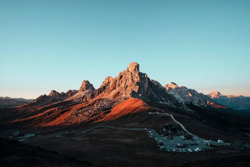
Bend, Oregon

The High Desert Monologue.
Eight spots across Central Oregon — four on water, two on stone, one in a cave that requires a rappelling rack, and one taproom the brewery tour buses never see.
Bend's geology does most of the work. A volcanic aquifer keeps swimming holes at sixty degrees all August. Basalt columns build their own stairways into the Deschutes. Lava tubes hold ice into July. The catch is that everyone knows Bend — which means the real gems live a courtesy-walk past the busy trailhead, or down a social trail the forest service politely pretends doesn't exist.
This guide brings together Off Trail Guide's published research notes for Bend. Access, weather, closures, and crowd levels can change; confirm current conditions with the responsible land manager before you travel.
Volcanic, dry, and genuinely quiet if you know where to park. Bend's crowds concentrate — the Old Mill, the brewery district, Smith Rock on Saturdays. Five miles off any of those, the landscape gives you back space.
What you came for.
- 01
Arnold Ice Cave
\"Cold air sinks and stays trapped in the lower chambers, creating ice formations that persist through Central Oregon's hottest summers.
Open full research note → - 02
- 03
Deschutes Brewery Secret Taproom
Beer specificity: Access to one-off experiments, barrel samples, and small batches that never scale to production (think: 3-barrel test batches with unusual hop combinations or fermentation techniques) Brewer access: Actual brewers, cellarmen, and packagers staff this taproom during their breaks - you're talking to the people who literally made what's in your glass Pricing: Pint prices are typical.
Open full research note → - 04
Deschutes River East Bank Secret Swim Spot
Temperature control: Underground springs create persistent cool pockets that are 5-10 degrees warmer than the main river flow Privacy factor: The cottonwood grove provides natural screening from the trail, and most floaters/tubers stick to the main channels Rock quality: The riverbed here has smooth, water-worn basalt that's comfortable to sit on (unlike the sharp lava rock elsewhere) Current swee.
Open full research note → - 05
Hatfield Lakes
The managed water levels create shallow mudflats and alkali seeps on the southeast shore that serve as critical feeding habitat.
Open full research note → - 06
Phil's Trail West Slope Secret Vista
View specificity: You get South Sister's summit pyramid dead center, with Broken Top's distinctive silhouette to the west and the less-photographed north slopes of Middle Sister visible on clear days Light quality: Late afternoon sun (roughly 3-6 PM) hits the peaks just right, creating long shadows that highlight the volcanic texture Wind protection: The bench sits in a slight depression that bloc.
Open full research note → - 07
Deschutes River
Spring seeps, submerged willow roots, and minimal current create ideal habitat for juvenile redband trout.
Open full research note → - 08
Elsewhere in the atlas.
 6 spots
 Whitefish.
Glacier Country's best-kept secrets
 5 spots
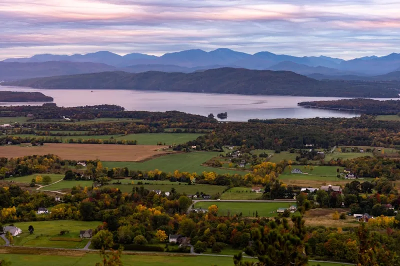
 Burlington.
Lakeside farms and Green Mountain trails
 4 spots
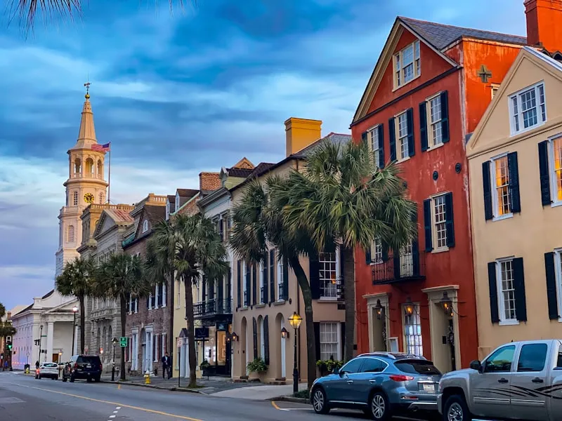
 Charleston.
Hidden gardens and Lowcountry culture
 9 spots
 Conway.
White Mountains swimming holes and granite trails
 6 spots
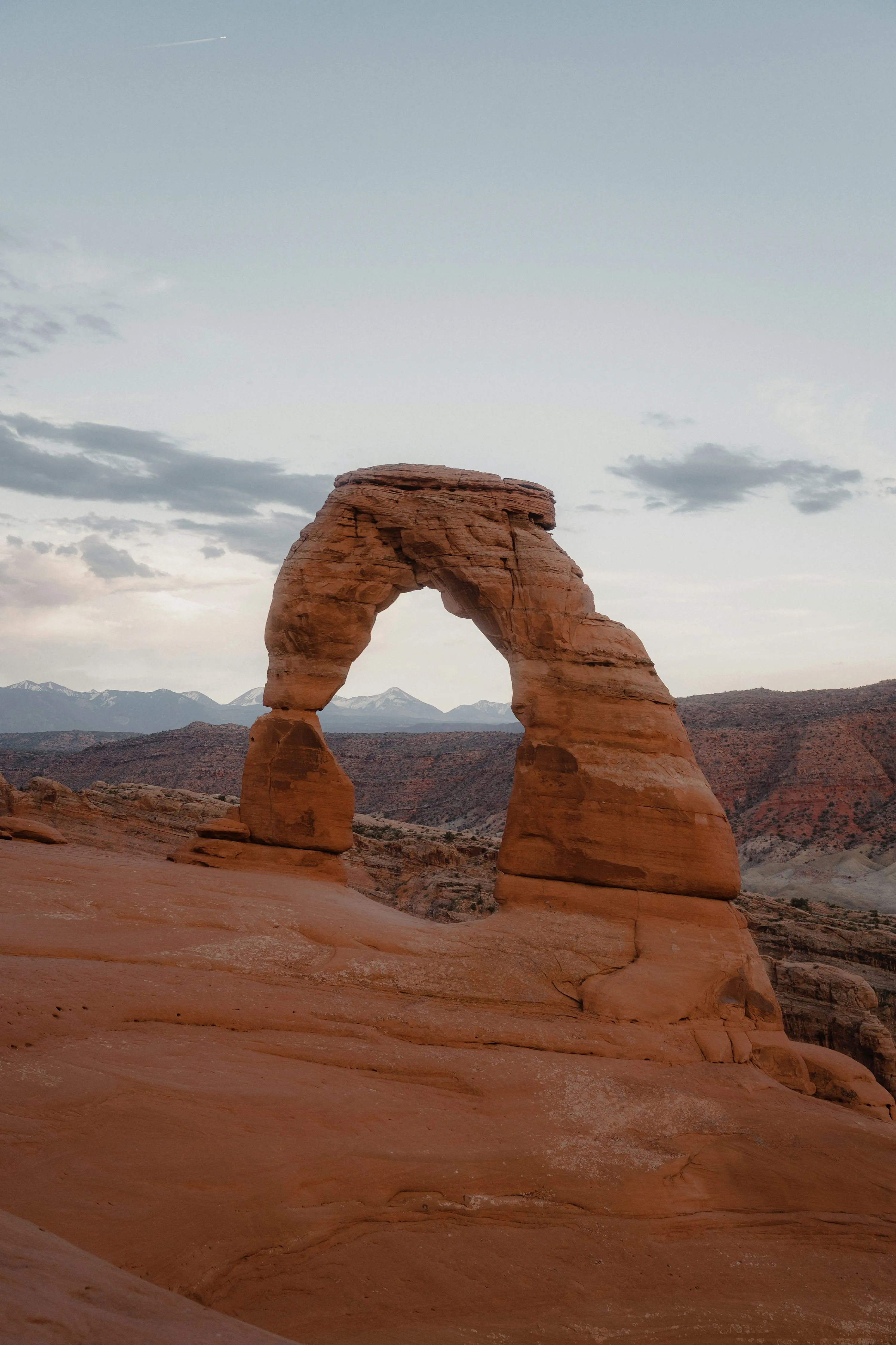
 Moab.
Red rock secrets beyond the arches
 5 spots
 Upper Peninsula.
Copper Country ruins and Lake Superior shoreline