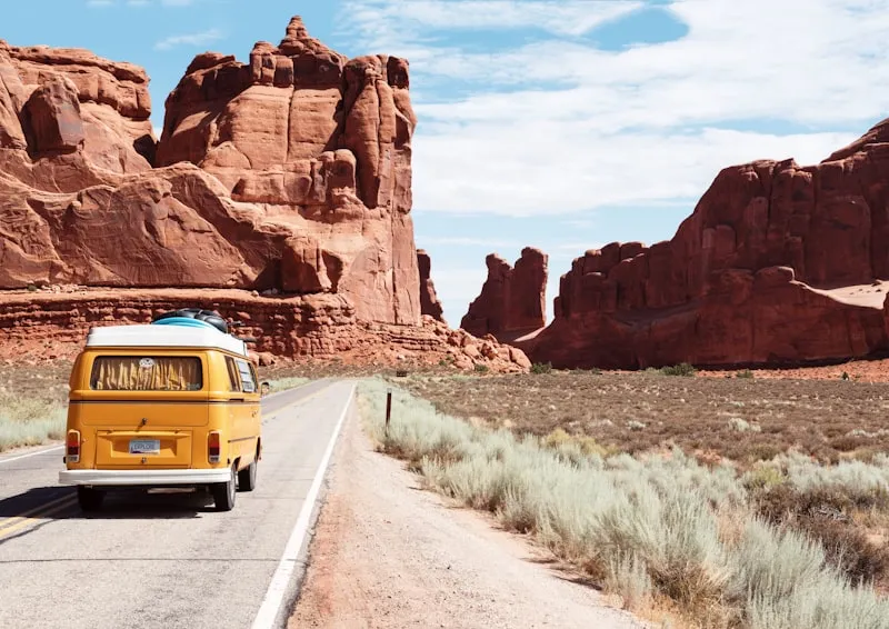
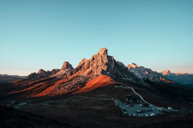
Moab, Utah

The Back Arch Dispatch.
Seven spots past the entrance gate — sunrise viewpoints behind the famous formations, sandstone scrambles the permit system still protects, and one petroglyph panel the rangers won't map.
Everyone in Moab is photographing the same twelve things from the same twelve angles. Turn around. Literally. The back of every arch is more interesting than the front, and the side canyons that bleed off the Colorado never make the brochure. Sunrise gets you past the entrance line. The ridge above Delicate Arch — quarter-mile scramble, no permit, no shuttle — has six people, tops, and a better angle on the same light.
This guide brings together Off Trail Guide's published research notes for Moab. Access, weather, closures, and crowd levels can change; confirm current conditions with the responsible land manager before you travel.
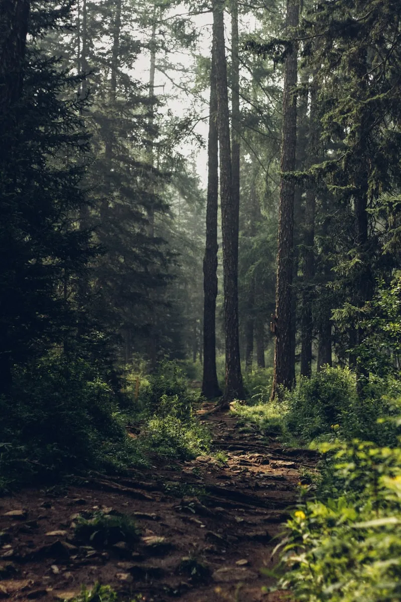
Red rock, dry bone, and silence you can hear. Summer is survivable before 9 a.m. and after 6 p.m. and nothing between. Every good photograph here is about light angle, not subject.
What you came for.
- 01
Corona Arch and Bowtie Arch
Corona Arch is wider than Landscape Arch and more dramatic than Delicate Arch, but because it sits on BLM land outside the national park boundary, it gets a fraction of the traffic.
Open full research note → - 02
Dead Horse Point
Everyone visits Dead Horse Point for the daytime canyon view.
Open full research note → - 03
Delicate Arch
The main Delicate Arch viewpoint can hold 50+ people at sunrise.
Open full research note → - 04
Mill Creek North Fork
Moab sits in a desert where summer temps hit triple digits for weeks.
Open full research note → - 05
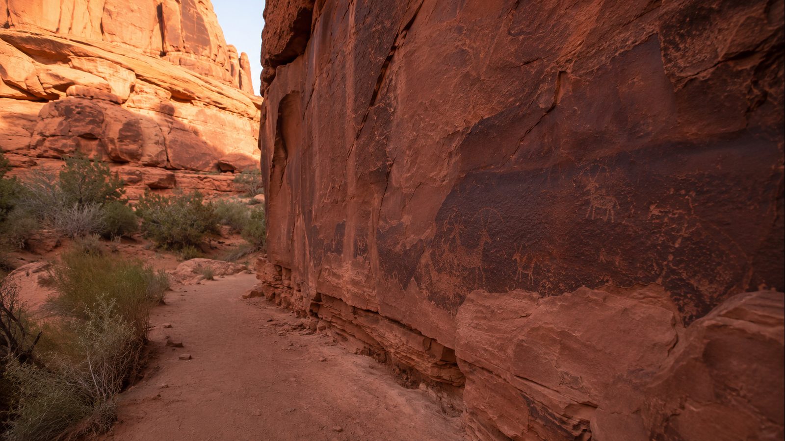
Moonflower Canyon Petroglyphs
While Arches and Canyonlands draw millions of visitors, Moonflower Canyon remains a local secret tucked into the Behind the Rocks Wilderness Study Area.
Open full research note → - 06
Onion Creek Narrows
This trail gets almost zero foot traffic compared to anything in Arches or Canyonlands.
Open full research note →
Elsewhere in the atlas.
 6 spots
 Whitefish.
Glacier Country's best-kept secrets
 8 spots
 Bend.
High desert sanctuary meets volcanic rivers
 5 spots
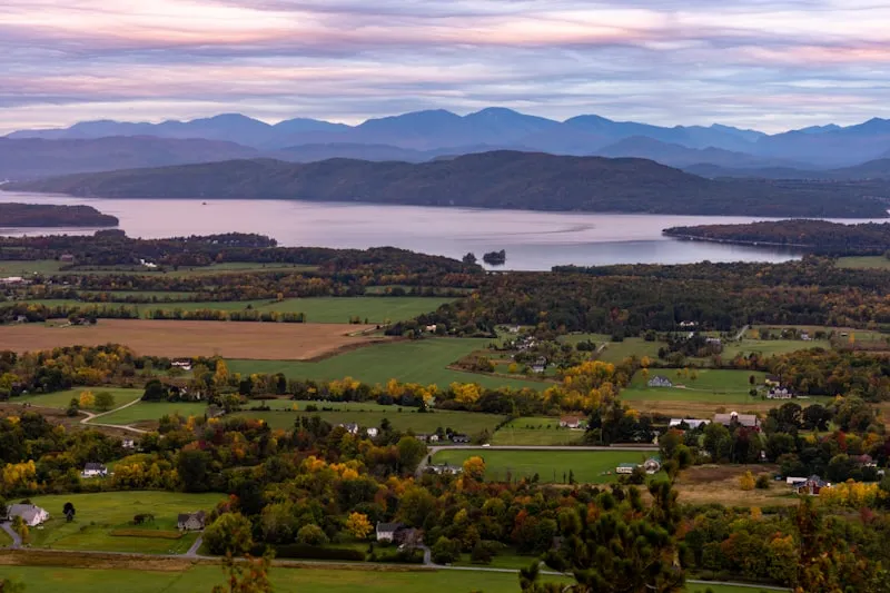
 Burlington.
Lakeside farms and Green Mountain trails
 4 spots
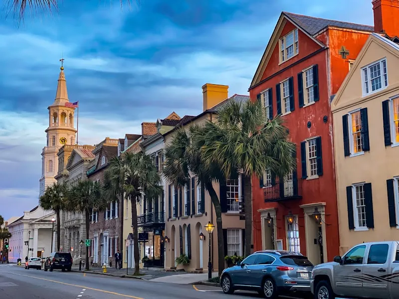
 Charleston.
Hidden gardens and Lowcountry culture
 9 spots
 Conway.
White Mountains swimming holes and granite trails
 5 spots
 Upper Peninsula.
Copper Country ruins and Lake Superior shoreline